
Garganta das Negras topographic map
Interactive map
Click on the map to display elevation.
About this map
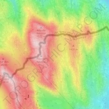
Name: Garganta das Negras topographic map, elevation, terrain.
Location: Garganta das Negras, Outeiro, Montalegre, Vila Real, Portugal (41.81518 -8.04659 41.83518 -8.02659)
Average elevation: 4,416 ft
Minimum elevation: 3,734 ft
Maximum elevation: 5,023 ft