
Dhamtari topographic map
Interactive map
Click on the map to display elevation.
About this map
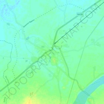
Name: Dhamtari topographic map, elevation, terrain.
Location: Dhamtari, Chhattisgarh, 493773, India (20.66839 81.50853 20.74839 81.58853)
Average elevation: 1,056 ft
Minimum elevation: 1,037 ft
Maximum elevation: 1,096 ft