
Schönwalde-Glien topographic map
Interactive map
Click on the map to display elevation.
About this map
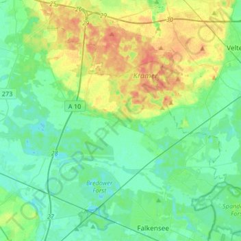
Name: Schönwalde-Glien topographic map, elevation, terrain.
Location: Schönwalde-Glien, Havelland, Brandenburg, 14621, Duitsland (52.58691 12.90125 52.69252 13.16599)
Average elevation: 128 ft
Minimum elevation: 89 ft
Maximum elevation: 213 ft