
支家 topographic map
Interactive map
Click on the map to display elevation.
About this map
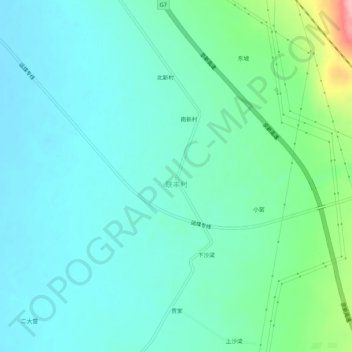
Name: 支家 topographic map, elevation, terrain.
Location: 支家, 乌拉哈乌拉乡, 察哈尔右翼前旗, 乌兰察布市, 内蒙古自治区, 中国 (40.85970 113.40542 40.89970 113.44542)
Average elevation: 4,255 ft
Minimum elevation: 4,160 ft
Maximum elevation: 4,623 ft