
Rio Sabugi topographic map
Interactive map
Click on the map to display elevation.
About this map
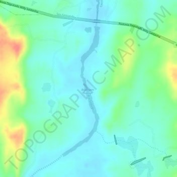
Name: Rio Sabugi topographic map, elevation, terrain.
Average elevation: 518 ft
Minimum elevation: 456 ft
Maximum elevation: 673 ft
Other topographic maps
Click on a map to view its topography, its elevation and its terrain.
Rio Seridó
Brasil > Rio Grande do Norte > Caicó
Rio Seridó, Caicó, Microrregião de Seridó Ocidental, Mesorregião Central Potiguar, Rio Grande do Norte, Região Nordeste, 59300000, Brasil
Average elevation: 492 ft