
Mount Ann Park topographic map
Interactive map
Click on the map to display elevation.
About this map
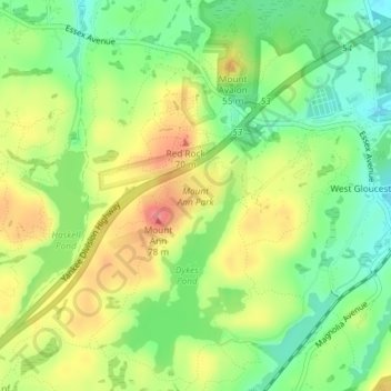
Name: Mount Ann Park topographic map, elevation, terrain.
Location: Mount Ann Park, Gloucester, Essex County, Massachusetts, USA (42.61005 -70.73159 42.61580 -70.72151)
Average elevation: 118 ft
Minimum elevation: 0 ft
Maximum elevation: 259 ft
Other topographic maps
Click on a map to view its topography, its elevation and its terrain.
Hammond Castle Museum
USA > Massachusetts > Gloucester
Hammond Castle Museum, Gloucester, Essex County, Massachusetts, USA
Average elevation: 56 ft