
Ludvika topographic map
Interactive map
Click on the map to display elevation.
About this map
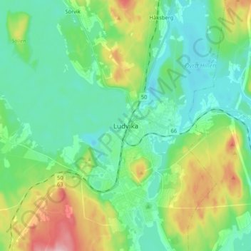
Name: Ludvika topographic map, elevation, terrain.
Location: Ludvika, Dalecarlia, Region Svealand, 771 31, Sweden (60.11038 15.14140 60.19038 15.22140)
Average elevation: 604 ft
Minimum elevation: 433 ft
Maximum elevation: 1,060 ft