
DeWitt City Park topographic map
Interactive map
Click on the map to display elevation.
About this map
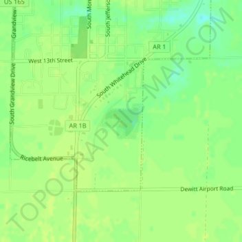
Name: DeWitt City Park topographic map, elevation, terrain.
Average elevation: 194 ft
Minimum elevation: 157 ft
Maximum elevation: 207 ft
Other topographic maps
Click on a map to view its topography, its elevation and its terrain.
De Witt
United States > Arkansas > Arkansas County > De Witt
De Witt, Arkansas County, Arkansas, United States
Average elevation: 190 ft