
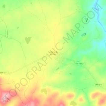
Santana do Campo topographic map
Interactive map
Click on the map to display elevation.
About this map
Name: Santana do Campo topographic map, elevation, terrain.
Location: Santana do Campo, Arraiolos, Évora, 7040-130, Portugal (38.74807 -8.05654 38.78807 -8.01654)
Average elevation: 850 ft
Minimum elevation: 554 ft
Maximum elevation: 1,165 ft
Other topographic maps
Click on a map to view its topography, its elevation and its terrain.