
Presa Peñitas topographic map
Interactive map
Click on the map to display elevation.
About this map
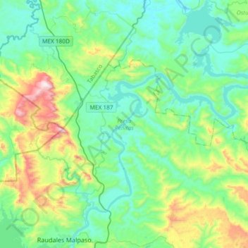
Name: Presa Peñitas topographic map, elevation, terrain.
Location: Presa Peñitas, Santos Degollado, Tecpatán, Chiapas, México (17.18003 -93.59723 17.46007 -93.37122)
Average elevation: 863 ft
Minimum elevation: 135 ft
Maximum elevation: 3,314 ft