
井沟东乡族乡 topographic map
Interactive map
Click on the map to display elevation.
About this map
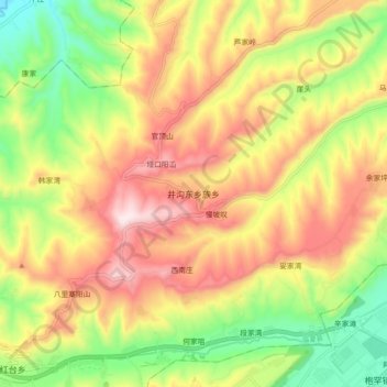
Name: 井沟东乡族乡 topographic map, elevation, terrain.
Location: 井沟东乡族乡, 临夏县, 临夏回族自治州, 甘肃省, 中国 (35.55189 103.05291 35.63189 103.13291)
Average elevation: 7,054 ft
Minimum elevation: 6,178 ft
Maximum elevation: 7,953 ft
Other topographic maps
Click on a map to view its topography, its elevation and its terrain.