
Hồng Bàng District topographic map
Interactive map
Click on the map to display elevation.
About this map
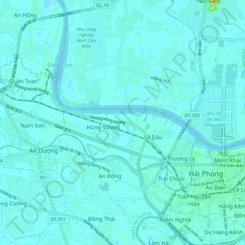
Name: Hồng Bàng District topographic map, elevation, terrain.
Location: Hồng Bàng District, Haiphong, Vietnam (20.85289 106.59943 20.89931 106.68911)
Average elevation: 13 ft
Minimum elevation: -16 ft
Maximum elevation: 135 ft
Other topographic maps
Click on a map to view its topography, its elevation and its terrain.