
临泽县 topographic map
Interactive map
Click on the map to display elevation.
About this map
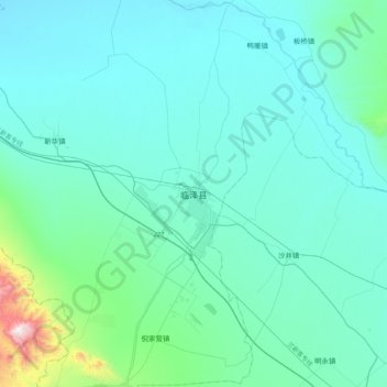
Name: 临泽县 topographic map, elevation, terrain.
Location: 临泽县, 张掖市, 甘肃省, 734200, 中国 (38.98956 100.00617 39.30956 100.32617)
Average elevation: 4,921 ft
Minimum elevation: 4,491 ft
Maximum elevation: 8,665 ft
Other topographic maps
Click on a map to view its topography, its elevation and its terrain.