
Isalo National Park topographic map
Interactive map
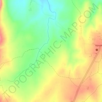
Click on the map to display elevation.
About this map
Name: Isalo National Park topographic map, elevation, terrain.
Average elevation: 2,635 ft
Minimum elevation: 2,448 ft
Maximum elevation: 2,805 ft
Isalo National Park is a National Park in the Ihorombe Region of Madagascar, in the southwestern corner of the Province of Fianarantsoa. The closest town is Ranohira, and the closest cities are Toliara and Ihosy. It is a sandstone landscape that has been dissected by wind and water erosion into rocky outcrops, plateaus, extensive plains and up to 200 m (660 ft) deep canyons. There are permanent rivers and streams as well as many seasonal watercourses. Elevation varies between 510 and 1,268 m (1,673 and 4,160 ft).