
ديهري topographic map
Interactive map
Click on the map to display elevation.
About this map
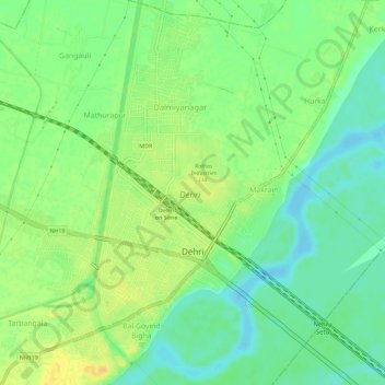
Name: ديهري topographic map, elevation, terrain.
Location: ديهري, Dehri, Rohtas District, Bihar, 821307, India (24.88981 84.16671 24.94161 84.20403)
Average elevation: 344 ft
Minimum elevation: 302 ft
Maximum elevation: 394 ft
Other topographic maps
Click on a map to view its topography, its elevation and its terrain.