
Bruit topographic map
Interactive map
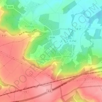
Click on the map to display elevation.
About this map
Name: Bruit topographic map, elevation, terrain.
Average elevation: 505 ft
Minimum elevation: 302 ft
Maximum elevation: 709 ft
Other topographic maps
Click on a map to view its topography, its elevation and its terrain.
La Queue des Marais
France > Grand Est > Marne > Germigny
La Queue des Marais, Germigny, Reims, Marne, Grand Est, France métropolitaine, 51390, France
Average elevation: 577 ft