
Touggourt topographic map
Interactive map
Click on the map to display elevation.
About this map
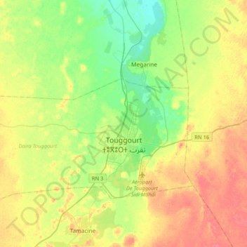
Name: Touggourt topographic map, elevation, terrain.
Location: Touggourt, Daïra Touggourt, Touggourt, Algérie (33.07830 5.75682 33.17708 6.07974)
Average elevation: 253 ft
Minimum elevation: 171 ft
Maximum elevation: 351 ft