
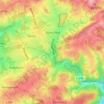
Keller topographic map
Interactive map
Click on the map to display elevation.
About this map
Name: Keller topographic map, elevation, terrain.
Average elevation: 679 ft
Minimum elevation: 377 ft
Maximum elevation: 915 ft
Other topographic maps
Click on a map to view its topography, its elevation and its terrain.
Oberbörsch
Deutschland > Nordrhein-Westfalen > Rheinisch-Bergischer Kreis > Kürten > Dürscheid
Oberbörsch, Dürscheid, Kürten, Rheinisch-Bergischer Kreis, Nordrhein-Westfalen, 51515, Deutschland
Average elevation: 676 ft