
Ili Ujolewung topographic map
Interactive map
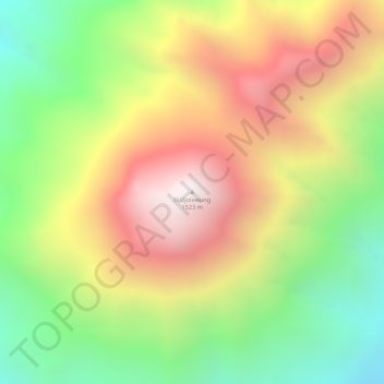
Click on the map to display elevation.
About this map
Name: Ili Ujolewung topographic map, elevation, terrain.
Average elevation: 3,251 ft
Minimum elevation: 1,542 ft
Maximum elevation: 4,925 ft
Other topographic maps
Click on a map to view its topography, its elevation and its terrain.
Lembata Island
Indonesia > East Nusa Tenggara > Lembata
Lembata Island, Lembata, East Nusa Tenggara, Indonesia
Average elevation: 230 ft