
Mathale topographic map
Interactive map
Click on the map to display elevation.
About this map
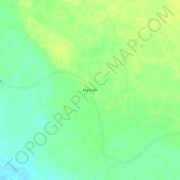
Name: Mathale topographic map, elevation, terrain.
Location: Mathale, Tome, Funhalouro, Inhambane Province, Mozambique (-22.98555 33.71226 -22.94555 33.75226)
Average elevation: 240 ft
Minimum elevation: 210 ft
Maximum elevation: 259 ft