
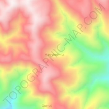
Minyeimemut topographic map
Interactive map
Click on the map to display elevation.
About this map
Name: Minyeimemut topographic map, elevation, terrain.
Average elevation: 7,136 ft
Minimum elevation: 5,463 ft
Maximum elevation: 8,241 ft
Other topographic maps
Click on a map to view its topography, its elevation and its terrain.
Taiga
Indonesia > West Papua > Pegunungan Arfak
Taiga, Pegunungan Arfak, West Papua, Western New Guinea, Indonesia
Average elevation: 5,400 ft
Danau Anggi Gida
Indonesia > West Papua > Pegunungan Arfak > Krobut / Kiwot
Danau Anggi Gida, Krobut / Kiwot, Pegunungan Arfak, West Papua, Western New Guinea, Indonesia
Average elevation: 6,421 ft
Membey
Indonesia > West Papua > Pegunungan Arfak
Membey, Pegunungan Arfak, West Papua, Western New Guinea, Indonesia
Average elevation: 7,451 ft