
Sleidinge topographic map
Interactive map
Click on the map to display elevation.
About this map
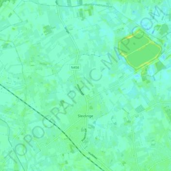
Name: Sleidinge topographic map, elevation, terrain.
Location: Sleidinge, Everghem, Gand, Flandre orientale, Flandre, Belgique (51.11388 3.63237 51.16990 3.72159)
Average elevation: 20 ft
Minimum elevation: 3 ft
Maximum elevation: 49 ft