
Guéréda topographic map
Interactive map
Click on the map to display elevation.
About this map
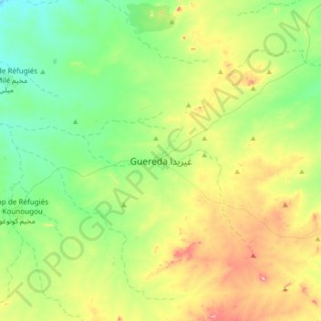
Name: Guéréda topographic map, elevation, terrain.
Location: Guéréda, Wadi Fira, Tchad (14.35064 21.92839 14.67064 22.24839)
Average elevation: 3,317 ft
Minimum elevation: 3,005 ft
Maximum elevation: 3,973 ft
Other topographic maps
Click on a map to view its topography, its elevation and its terrain.