
Rivera topographic map
Interactive map
Click on the map to display elevation.
About this map
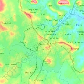
Name: Rivera topographic map, elevation, terrain.
Location: Rivera, 40000, Uruguay (-30.92688 -55.59948 -30.86922 -55.50799)
Average elevation: 676 ft
Minimum elevation: 525 ft
Maximum elevation: 965 ft