
田尾山 topographic map
Interactive map
Click on the map to display elevation.
About this map
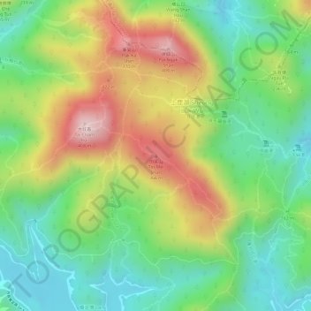
Name: 田尾山 topographic map, elevation, terrain.
Location: 田尾山, 西貢區, 新界, 香港, 中国 (22.40096 114.34774 22.40106 114.34784)
Average elevation: 607 ft
Minimum elevation: 112 ft
Maximum elevation: 1,273 ft
Other topographic maps
Click on a map to view its topography, its elevation and its terrain.