
Orphelinat topographic map
Interactive map
Click on the map to display elevation.
About this map
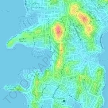
Name: Orphelinat topographic map, elevation, terrain.
Average elevation: 43 ft
Minimum elevation: -3 ft
Maximum elevation: 220 ft
Other topographic maps
Click on a map to view its topography, its elevation and its terrain.
Vallée des Colons
France > Province Sud > Nouméa
Vallée des Colons, Secteur Sud, Nouméa, Province Sud, Nouvelle-Calédonie, 98800, France
Average elevation: 69 ft