
Gouderlou topographic map
Interactive map
Click on the map to display elevation.
About this map
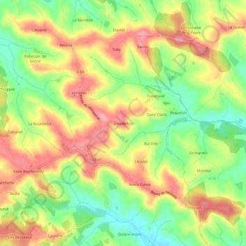
Name: Gouderlou topographic map, elevation, terrain.
Average elevation: 531 ft
Minimum elevation: 341 ft
Maximum elevation: 709 ft
Other topographic maps
Click on a map to view its topography, its elevation and its terrain.
Le Mourié
France > Occitanie > Tarn-et-Garonne > Mirabel
Le Mourié, Mirabel, Montauban, Tarn-et-Garonne, Occitanie, France métropolitaine, 82440, France
Average elevation: 456 ft