
Kandukur topographic map
Interactive map
Click on the map to display elevation.
About this map
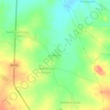
Name: Kandukur topographic map, elevation, terrain.
Location: Kandukur, Kandukur mandal, Rangareddy, Telangana, India (17.04438 78.46901 17.08438 78.50901)
Average elevation: 2,093 ft
Minimum elevation: 2,011 ft
Maximum elevation: 2,182 ft