
Madrigalejo topographic map
Interactive map
Click on the map to display elevation.
About this map
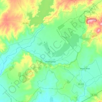
Name: Madrigalejo topographic map, elevation, terrain.
Location: Madrigalejo, Miajadas, Cáceres, Extremadura, España (39.08082 -5.72660 39.22685 -5.57656)
Average elevation: 1,030 ft
Minimum elevation: 889 ft
Maximum elevation: 1,398 ft