
Valeria topographic map
Interactive map
Click on the map to display elevation.
About this map
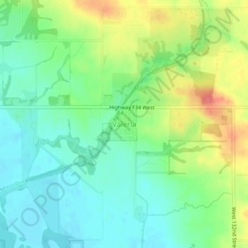
Name: Valeria topographic map, elevation, terrain.
Location: Valeria, Jasper County, Iowa, Estados Unidos da América (41.72820 -93.32837 41.73187 -93.32341)
Average elevation: 873 ft
Minimum elevation: 794 ft
Maximum elevation: 1,010 ft