
宿松县 topographic map
Interactive map
Click on the map to display elevation.
About this map
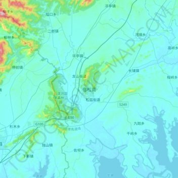
Name: 宿松县 topographic map, elevation, terrain.
Location: 宿松县, 松兹街道, 宿松县, 安庆市, 安徽省, 中国 (30.01347 115.96925 30.33347 116.28925)
Average elevation: 177 ft
Minimum elevation: 23 ft
Maximum elevation: 2,198 ft