
Lake Nasser topographic map
Interactive map
Click on the map to display elevation.
About this map
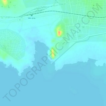
Name: Lake Nasser topographic map, elevation, terrain.
Location: Lake Nasser, أ 1, Wadi Halfa, Norden, Sudan (21.79391 31.34558 21.79401 31.34568)
Average elevation: 597 ft
Minimum elevation: 581 ft
Maximum elevation: 709 ft