
Flaxton topographic map
Interactive map
Click on the map to display elevation.
About this map
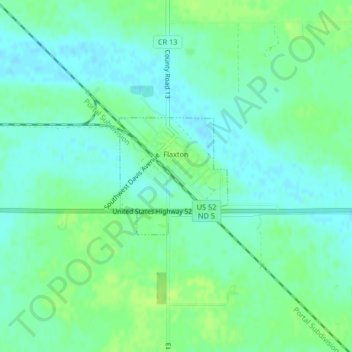
Name: Flaxton topographic map, elevation, terrain.
Location: Flaxton, Burke County, North Dakota, United States (48.89247 -102.39899 48.90148 -102.38630)
Average elevation: 1,932 ft
Minimum elevation: 1,913 ft
Maximum elevation: 1,959 ft