
旺泉街道 topographic map
Interactive map
Click on the map to display elevation.
About this map
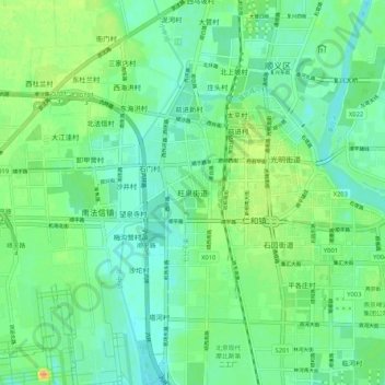
Name: 旺泉街道 topographic map, elevation, terrain.
Location: 旺泉街道, 顺义区, 北京市, 101399, 中国 (40.08220 116.59068 40.16220 116.67068)
Average elevation: 118 ft
Minimum elevation: 82 ft
Maximum elevation: 180 ft