
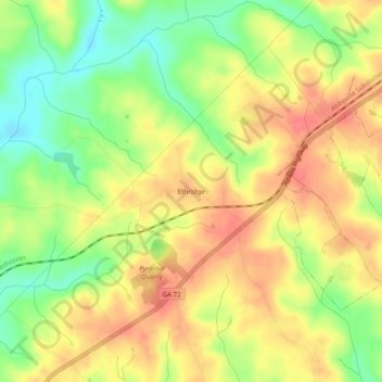
Ethridge topographic map
Interactive map
Click on the map to display elevation.
About this map
Name: Ethridge topographic map, elevation, terrain.
Location: Ethridge, Elbert County, Georgia, United States (34.08428 -82.93986 34.12428 -82.89986)
Average elevation: 620 ft
Minimum elevation: 499 ft
Maximum elevation: 712 ft