
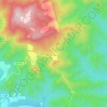
Sant Feliu de Buixalleu topographic map
Interactive map
Click on the map to display elevation.
About this map
Name: Sant Feliu de Buixalleu topographic map, elevation, terrain.
Location: Sant Feliu de Buixalleu, Selva, Gerona, Cataluña, 17451, España (41.77130 2.56615 41.81130 2.60615)
Average elevation: 1,053 ft
Minimum elevation: 407 ft
Maximum elevation: 2,005 ft