
Thank you for supporting this site ❤️
Make a donation
Make a donation
Gear up for your next adventure:
As an Amazon Associate, this site earns from qualifying purchases at no extra cost to you.
Tinerkouk topographic map
Click on the map to display elevation.
Thank you for supporting this site ❤️
Make a donation
Make a donation
Gear up for your next adventure:
As an Amazon Associate, this site earns from qualifying purchases at no extra cost to you.
About this map
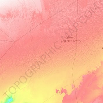
Name: Tinerkouk topographic map, elevation, terrain.
Location: Tinerkouk, Tinerkouk District, Timimoune, 01013, Algeria (29.28221 0.48357 31.65961 2.05899)
Average elevation: 1,598 ft
Minimum elevation: 673 ft
Maximum elevation: 2,461 ft
Thank you for supporting this site ❤️
Make a donation
Make a donation
Gear up for your next adventure:
As an Amazon Associate, this site earns from qualifying purchases at no extra cost to you.