
Laberget topographic map
Interactive map
Click on the map to display elevation.
About this map
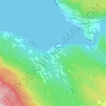
Name: Laberget topographic map, elevation, terrain.
Location: Laberget, Salangen, Troms og Finnmark, 9350, Norwegen (68.84142 17.80009 68.88142 17.84009)
Average elevation: 305 ft
Minimum elevation: 0 ft
Maximum elevation: 1,401 ft