
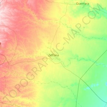
Zelfana topographic map
Interactive map
Click on the map to display elevation.
About this map
Name: Zelfana topographic map, elevation, terrain.
Location: Zelfana, Daïra Zelfana, Ghardaïa, 47007, Algérie (32.20863 3.82110 32.60096 4.79002)
Average elevation: 1,230 ft
Minimum elevation: 807 ft
Maximum elevation: 2,054 ft