
Abadla topographic map
Interactive map
Click on the map to display elevation.
About this map
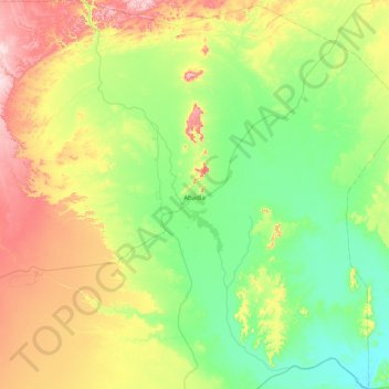
Name: Abadla topographic map, elevation, terrain.
Location: Abadla, Daïra de Abadla, Béchar, Algérie (30.68761 -2.95186 31.37486 -2.26963)
Average elevation: 2,087 ft
Minimum elevation: 1,706 ft
Maximum elevation: 2,976 ft