
庵圩 topographic map
Interactive map
Click on the map to display elevation.
About this map
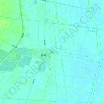
Name: 庵圩 topographic map, elevation, terrain.
Location: 庵圩, 宿迁市, 江苏省, 中国 (34.01538 118.34718 34.05538 118.38718)
Average elevation: 62 ft
Minimum elevation: 52 ft
Maximum elevation: 89 ft