
Wez-Velvain topographic map
Interactive map
Click on the map to display elevation.
About this map
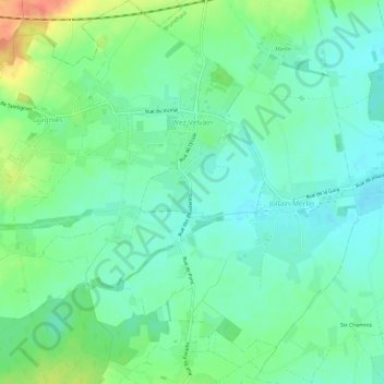
Name: Wez-Velvain topographic map, elevation, terrain.
Location: Wez-Velvain, Brunehaut, Doornik, Henegouwen, Wallonië, België (50.52121 3.35850 50.55878 3.39977)
Average elevation: 118 ft
Minimum elevation: 62 ft
Maximum elevation: 230 ft
Other topographic maps
Click on a map to view its topography, its elevation and its terrain.
Jollain-Merlin
Jollain-Merlin, Brunehaut, Doornik, Henegouwen, Wallonië, 7620, België
Average elevation: 108 ft
Howardries
Howardries, Brunehaut, Doornik, Henegouwen, Wallonië, 7624, België
Average elevation: 112 ft