
Cambron-Casteau topographic map
Interactive map
Click on the map to display elevation.
About this map
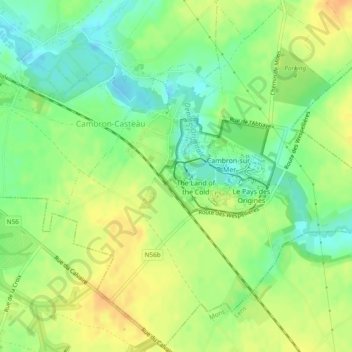
Name: Cambron-Casteau topographic map, elevation, terrain.
Location: Cambron-Casteau, Brugelette, Aat, Henegouwen, Wallonië, België (50.56932 3.86252 50.59868 3.91027)
Average elevation: 200 ft
Minimum elevation: 144 ft
Maximum elevation: 253 ft