
Radfeld topographic map
Interactive map
Click on the map to display elevation.
About this map
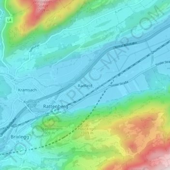
Name: Radfeld topographic map, elevation, terrain.
Location: Radfeld, Kufstein, Tirol, 6241, Österreich (47.42532 11.88971 47.46790 11.96946)
Average elevation: 2,326 ft
Minimum elevation: 1,667 ft
Maximum elevation: 4,964 ft