
Benito Juárez topographic map
Interactive map
Click on the map to display elevation.
About this map
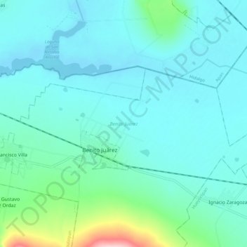
Name: Benito Juárez topographic map, elevation, terrain.
Location: Benito Juárez, Tlaxcala, México (19.57598 -98.45883 19.61669 -98.36201)
Average elevation: 8,301 ft
Minimum elevation: 8,192 ft
Maximum elevation: 8,924 ft