
Lieme topographic map
Interactive map
Click on the map to display elevation.
About this map
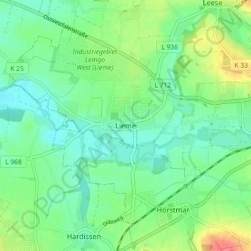
Name: Lieme topographic map, elevation, terrain.
Location: Lieme, Lemgo, Kreis Lippe, Noordrijn-Westfalen, Duitsland (52.00506 8.81587 52.04506 8.85587)
Average elevation: 328 ft
Minimum elevation: 262 ft
Maximum elevation: 469 ft