
Walls topographic map
Interactive map
Click on the map to display elevation.
About this map
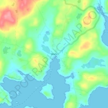
Name: Walls topographic map, elevation, terrain.
Location: Walls, Archipel des Shetland, Écosse, ZE2 9PG, Royaume-Uni (60.20931 -1.58635 60.24931 -1.54635)
Average elevation: 72 ft
Minimum elevation: -7 ft
Maximum elevation: 282 ft