
Mastad topographic map
Interactive map
Click on the map to display elevation.
About this map
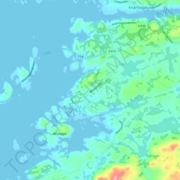
Name: Mastad topographic map, elevation, terrain.
Location: Mastad, Hitra, Tröndelag, 7242, Norwegen (63.62585 9.03393 63.66585 9.07393)
Average elevation: 49 ft
Minimum elevation: -16 ft
Maximum elevation: 417 ft