
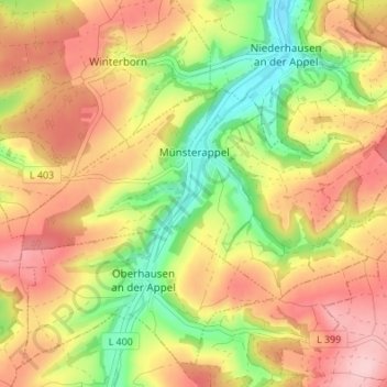
Münsterappel topographic map
Interactive map
Click on the map to display elevation.
About this map
Name: Münsterappel topographic map, elevation, terrain.
Average elevation: 945 ft
Minimum elevation: 614 ft
Maximum elevation: 1,234 ft
Die Kirchweih wird jährlich am dritten Wochenende im September veranstaltet. Höhepunkt ist der große Straßenumzug am Sonntag. Im August findet der Radfahrtag im Appelbachtal statt.