Geolocate

Midway topographic map

Click on the map to display elevation.

About this map

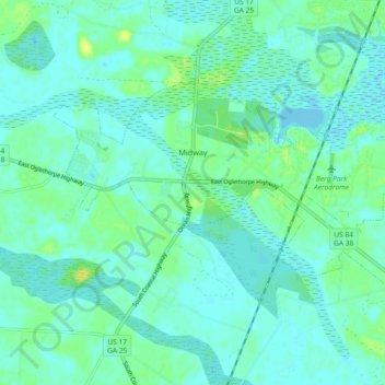
Name: Midway topographic map, elevation, terrain.

Location: Midway, Liberty County, Georgia, 31320, United States (31.77500 -81.46407 31.81988 -81.37192)

Average elevation: 16 ft

Minimum elevation: -7 ft

Maximum elevation: 56 ft

Liberty County trails, hiking, mountain biking, running and outdoor activities

Other topographic maps

Click on a map to view its topography, its elevation and its terrain.

Fleming

United States > Georgia > Liberty County

Average elevation: 16 ft

Seabrook

United States > Georgia > Liberty County

Average elevation: 23 ft

Gear up for your next adventure:

🗃️Trail First Aid Kit - Essential kit for outdoor injuries and emergencies
🧣Hiking Neck Gaiter - Multi‑use neck protection for outdoor weather
🥾Women's Hiking Boots - Top-rated trail boots with ankle support and superior grip
🧢Outdoor Hiking Hat - Sun protection hat for outdoor explorers
🔥Camping Stove - Portable stove for camping and backcountry cooking

As an Amazon Associate, this site earns from qualifying purchases at no extra cost to you.